
SmallFarm Elements
ScreenShots
- click on the image to enlarge
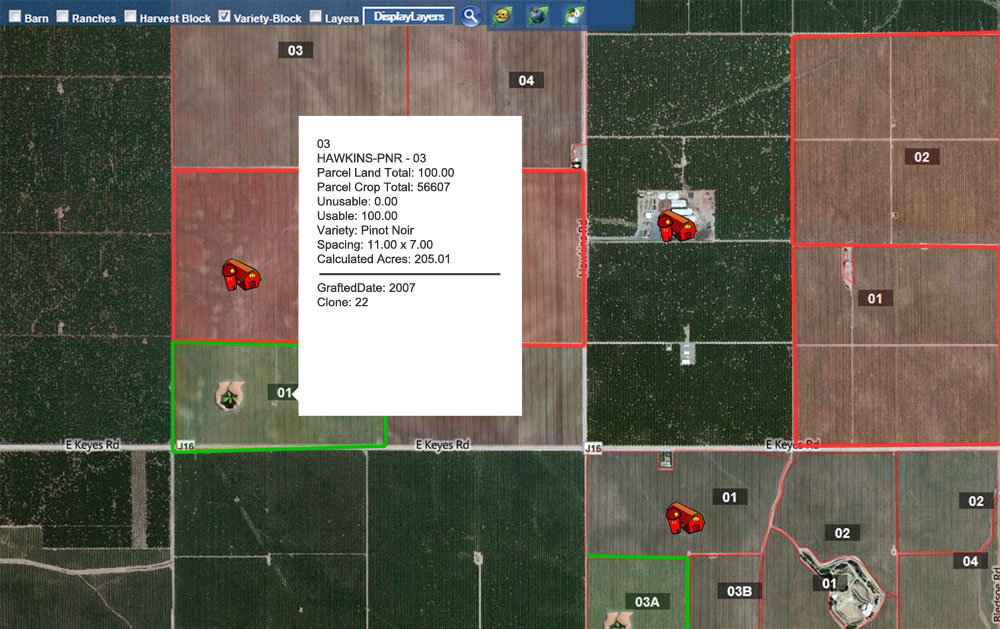
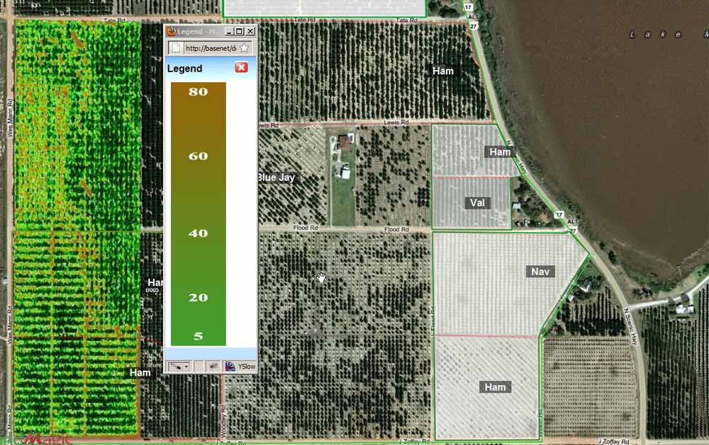
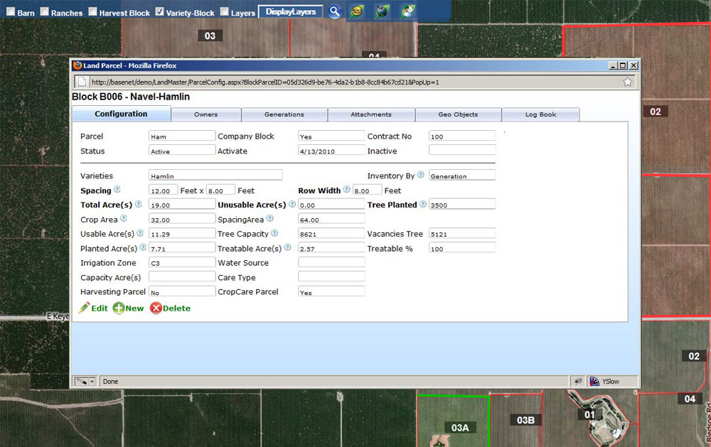
GeoViewer
The SmallFarm GeoViewer is a powerful geospatial tool that utilizes Microsofts Bing Maps technology. We have tailored this application so you can have a visual platform of all your Land/Crop and Job Activities. The GeoViewer allows you to view or create GeoObjects such as Barn locations, wells, water sources and you can even define good/bad neighbors land on the map.
Draw the boundaries on the map right from your computer. Imagine being able to see you land, crop, and history all from a birds eye map view. Its farming software that is tied together to make it easy and simple to use for agriculture.
Sign Up Now and get SmallFarm for FREE! See pricing & setup for more details.
© Copyright 2010 ProPak Software LLC.